
Green Belt land UK: a practical guide for landowners
TL;DR:
- Green Belt land in the UK prevents urban sprawl by ensuring areas around towns remain open and undeveloped.
- Building on Green Belt is only permitted under specific exceptions or very special circumstances, with applicants bearing the proof burden.
Green Belt land in the UK is a planning designation that keeps land around towns and cities permanently open. It is not an environmental award or a nature reserve. It simply means that most new buildings are not allowed there, and any proposal faces a strong presumption against approval unless a specific exception applies or the applicant can prove “very special circumstances” exist.
“The fundamental aim of Green Belt policy is to prevent urban sprawl by keeping land permanently open; the essential characteristics of Green Belts are their openness and their permanence.” National Planning Policy Framework, Chapter 13
If you own land or are thinking of buying land in the Green Belt, the two places to start are the GOV.UK Green Belt guidance and the CPRE interactive Green Belt map, which gives you a quick visual overview before you dig into your local authority’s own maps.
Table of Contents
- What does Green Belt land actually mean in UK planning?
- Where is Green Belt land and how do you check it?
- Can you build on Green Belt land?
- How are Green Belt boundaries set and changed?
- Is it worth buying Green Belt land?
- What to do if your land is in the Green Belt
- Key takeaways
- A practical perspective on Green Belt and garden buildings
- Useful sources and further reading
What does Green Belt land actually mean in UK planning?
Green Belt is a spatial planning tool, not an environmental label. A field in the Green Belt might have no wildlife value at all. What matters is its role in controlling where towns and cities grow.
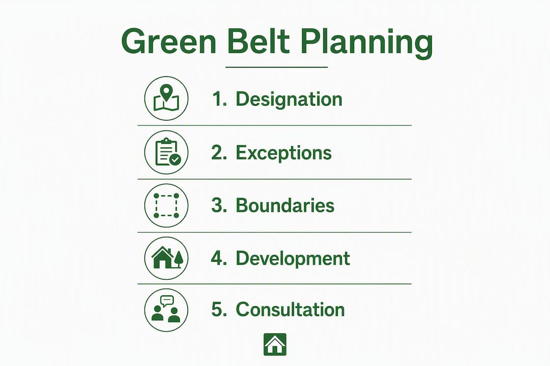
The National Planning Policy Framework (NPPF) sets out five purposes that Green Belt must serve:
Green Belt serves to check the unrestricted sprawl of large built-up areas; prevent neighbouring towns merging into one another; safeguard the countryside from encroachment; preserve the setting and special character of historic towns; and assist in urban regeneration by encouraging the recycling of derelict and other urban land.
That list is worth reading carefully. Notice that “beautiful countryside” is not on it. A scrubby field next to a motorway can be Green Belt for the same reason as a rolling meadow near a market town: both help keep a gap between settlements.
Green Belt versus other protected land designations
People often confuse Green Belt with Areas of Outstanding Natural Beauty (AONBs, now called National Landscapes) or National Parks. They are very different things.
- Green Belt — is about controlling urban growth. It has no automatic link to scenic quality or biodiversity.
A site can carry more than one designation at once. Green Belt land can also sit within a National Landscape, which adds another layer of protection on top.
Where is Green Belt land and how do you check it?
Roughly 12–13% of England is designated Green Belt, covering approximately 1.6 million hectares. It surrounds London, Birmingham, Manchester, Leeds, Sheffield, Bristol, and many other cities and large towns. There is no single national Green Belt; each area was designated separately and is managed by its local planning authority (LPA).
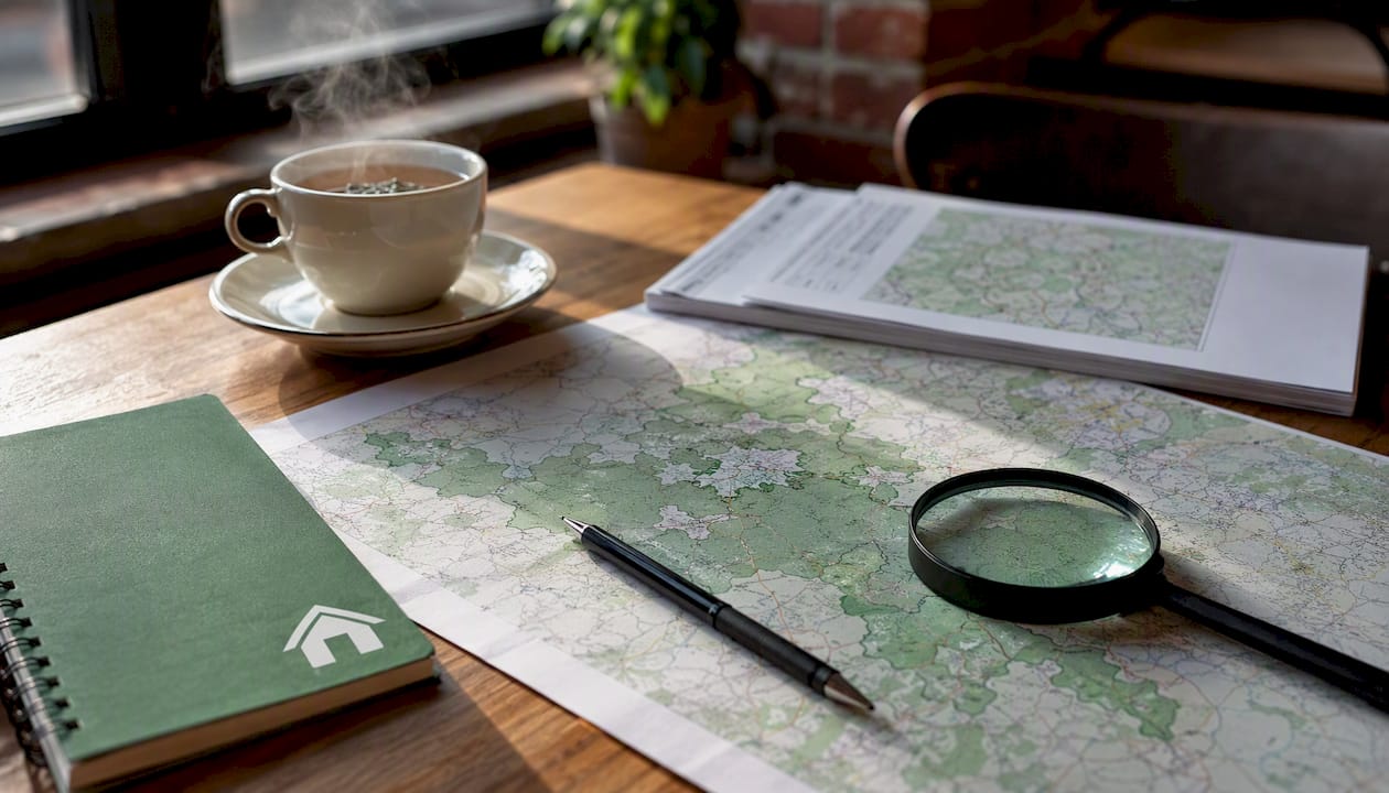
![Map showing Green Belt areas around major UK cities — use the CPRE interactive map for a detailed view of your area]
Recommended mapping resources
| Resource | What it shows | Limitation |
|---|---|---|
| CPRE interactive Green Belt map | National overview of all Green Belt areas | Not definitive for planning decisions |
| Local authority Proposals Map / Local Plan | Exact Green Belt boundary for planning purposes | Must be downloaded from each LPA’s website |
| GOV.UK Green Belt guidance | Policy framework and grey belt tests | Policy text only, no mapping |
| Planning Portal / LPA planning map | Site-level planning history and designations | Varies by council |
How to check whether your land is in the Green Belt
- Enter your postcode on the CPRE interactive map for a quick overview.
- Go to your local authority’s website and find the Proposals Map or Local Plan map.
- Search the site address on your LPA’s online planning map to see all designations.
- Check the Local Plan document itself for any allocations or boundary notes.
- If you are still unsure, call or email the planning department and ask directly.
Pro Tip: The CPRE map is a great starting point, but your LPA’s Proposals Map is the only document that counts for a planning application. Always confirm the boundary there.
Can you build on Green Belt land?
The short answer is: usually not, unless your proposal falls into a recognised exception or you can demonstrate very special circumstances. The House of Commons Library is clear that there is no automatic right to develop on Green Belt land, and the burden of proof sits entirely with the applicant.
Commonly accepted exceptions under the NPPF
- Extensions or alterations to an existing building, provided they are not “disproportionately large” compared to the original.
- Replacement of an existing dwelling, provided the new building is not “materially larger” than the one it replaces.
- Limited infilling in villages that the Local Plan identifies as appropriate.
- Agricultural or forestry buildings that are genuinely needed for those uses.
- Outdoor sport, recreation, and cemeteries where they preserve openness.
- Conversion of existing buildings where the structure is of permanent and substantial construction.
What counts as “disproportionately large” or “materially larger” varies between councils. Some allow around a one-third increase for replacement dwellings; others are stricter. Always check your LPA’s own Supplementary Planning Documents (SPDs) before assuming any threshold applies to you.
The ‘very special circumstances’ test
If your proposal does not fit an exception, you can still apply, but you must show that the harm to the Green Belt is clearly outweighed by other benefits. This is a high bar. Generic arguments about personal need or economic benefit rarely succeed on their own. The House of Commons Library briefing explains that the test requires benefits to clearly outweigh harm, not merely balance it.
What about garden buildings?
A modest garden building, such as a summerhouse or small cabin, can often be assessed under the extension exception or as permitted development, depending on its size and how it relates to the main dwelling. Scale and siting are everything. A building that sits close to the house, uses natural materials, and stays well within permitted development height limits is far less likely to trigger a refusal than a large, prominent structure in an open part of the plot.
Pro Tip: Contact your LPA before submitting anything. A pre-application enquiry costs a small fee but can save you months of wasted effort. Industry guidance consistently recommends early engagement as the single most effective step for Green Belt proposals.
How are Green Belt boundaries set and changed?
Green Belt boundaries are set by local planning authorities through their Local Plans. They cannot be changed by an individual planning application, no matter how strong the case. The only route to a boundary change is through the plan-making process itself.
How a boundary review works
- The LPA carries out a Green Belt review as part of preparing or updating its Local Plan.
- Land is assessed against the five NPPF purposes to see how strongly it performs.
- The order of preference for releasing land is: brownfield sites first, then grey belt, then other Green Belt land where justified.
- Any proposed changes go through public consultation and an independent examination before they are adopted.
What is ‘grey belt’?
The December 2024 revision of the NPPF introduced the concept of “grey belt.” This refers to land within the Green Belt that is either previously developed or makes only a limited contribution to the Green Belt’s core purposes.
Grey belt is not a separate legal designation. It remains Green Belt in law. Its value is that, under the paragraph 155 tests in the NPPF, some development on grey belt land can be considered “not inappropriate” where specific criteria are met. Identifying grey belt is an evidence exercise: a site-based appraisal must show it does not strongly perform against key Green Belt purposes.
For major housing releases on Green Belt land, the Golden Rules apply. These require an affordable housing contribution, infrastructure improvements, and new or improved public green space.
Pro Tip: Sign up for your LPA’s Local Plan consultation alerts. If your land could be considered grey belt, getting involved early in the evidence-gathering stage gives you the best chance of influencing the outcome.
Is it worth buying Green Belt land?
Buying Green Belt land can make sense, but only with clear eyes about what you can and cannot do with it. The designation directly affects development potential and therefore value.
Core checks before you buy
- Confirm the Green Belt designation on the LPA’s Proposals Map, not just the CPRE overview.
- Read the Local Plan to see whether the land has any allocation or is subject to a review.
- Search for any Supplementary Planning Documents that set local thresholds for extensions or replacements.
- Check for other environmental designations: flood risk zones, Sites of Special Scientific Interest (SSSIs), Ancient Woodland, or Conservation Areas all add further constraints.
- Review the planning history for the site on the LPA’s public portal.
Professional checks worth paying for
A planning consultant or chartered surveyor with Green Belt experience can assess development potential before you commit. A legal title review should confirm any covenants or rights of way that could affect use. For higher-risk sites, consider a dual strategy: pursue an exception route where one exists while preparing a very special circumstances case as a fallback.
Pro Tip: Never rely on a seller’s claim that land has “development potential.” Always get independent planning advice before exchange of contracts.
What to do if your land is in the Green Belt
Finding out your land is in the Green Belt is not the end of the road. Here is a clear sequence to follow.
- Confirm the designation. Check the LPA’s Proposals Map and note the exact boundary.
- Read the Local Plan. Look for any allocations, policies, or SPDs that specifically cover your site or area.
- Check permitted development rights. Some works do not need planning permission at all. Our guide to permitted development rights for garden buildings explains the rules in plain English.
- Gather site information. Collect OS maps, title plans, photographs, and any heritage or environmental records for the site.
- Request a pre-application meeting. Most LPAs offer this service. It lets you test your proposal before spending money on a full application.
- Keep written records. Get any LPA advice confirmed in writing. Verbal advice has no formal weight.
Questions to ask your LPA at pre-application stage
- Which exceptions in the NPPF apply to this site?
- What does “disproportionately large” mean in practice for this council?
- Is there a local SPD that sets specific thresholds for extensions or replacements?
- Has this land been assessed in any Green Belt review?
- Are there any heritage or environmental constraints that would affect the proposal?
Pro Tip: Keep a written log of every conversation with the LPA, including dates, names, and what was said. If advice changes between pre-application and decision, that record can be important.
For homeowners thinking about a garden building specifically, our planning permission guide for garden buildings walks through the full process step by step.
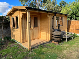
![A bespoke timber garden cabin set sympathetically within a mature garden — scale and natural materials are key in constrained planning contexts]
Thinking about a garden building on Green Belt land? A well-designed, correctly scaled cabin or summerhouse can often sit comfortably within permitted development rules or the extension exception. Logcabinkits offers bespoke garden log cabins built to your exact dimensions, with options for natural timber finishes that blend into sensitive settings. If you want something tailored to a specific site, the bespoke cabin design service lets you specify wall thickness, roof style, door and window positions, and more. For smaller plots where height is a concern, the cabins under 2.5m range is worth a look, as these often fall within permitted development height limits.
Key takeaways
Green Belt land in the UK carries a strong presumption against new development, but defined exceptions and the very special circumstances test mean that some proposals can succeed with the right evidence and early LPA engagement.
| Point | Details |
|---|---|
| Green Belt is a planning tool | It controls urban growth, not scenic quality; roughly 12–13% of England is designated (around 1.6 million hectares). |
| Strong presumption against development | Most new buildings are “inappropriate” unless a named NPPF exception applies or VSC is proven. |
| Grey belt is still Green Belt | The 2024 NPPF introduced grey belt, but it carries no automatic permission; tests still apply. |
| Boundaries change through Local Plans | Individual applications cannot alter Green Belt boundaries; only plan-making can. |
| Check maps and engage early | Confirm status on your LPA’s Proposals Map, then request a pre-application meeting before spending money. |
A practical perspective on Green Belt and garden buildings
The most common misunderstanding I see is the assumption that Green Belt means an absolute ban on everything. It does not. The policy is about protecting openness, and a modest, well-sited garden building often does very little to harm that openness. The planning system recognises this, which is why the extension and ancillary building exceptions exist.
The second misunderstanding is about grey belt. Since the December 2024 NPPF revision, some landowners have assumed that if their land qualifies as grey belt, permission follows automatically. It does not. Grey belt is an evidence-led classification that helps plan-makers prioritise land for release. For individual applicants, the paragraph 155 tests still apply, and the burden of proof remains with you.
For homeowners, the most practical route is usually the simplest one: keep the building modest, site it close to the house, use natural materials, and stay within permitted development limits where possible. A garden summerhouse or garden pavilion that respects the scale of the plot and the character of the setting is rarely a planning problem. It is the large, prominent structures that attract refusals.
The planning system rewards preparation. A pre-application conversation, a clear site appraisal, and a building designed with the constraints in mind will get you much further than a speculative application on a structure that was never going to pass. If you are at the early thinking stage, it costs nothing to check your permitted development rights and talk to your LPA before you commit to anything.
Useful sources and further reading
The sources below cover national policy, mapping, and practical guidance. Use them in the order that fits your situation: start with the policy text, then check the maps, then read the case-based commentary.
- National Planning Policy Framework, Chapter 13 — the primary policy document. This is where the five Green Belt purposes, the presumption against development, and the very special circumstances test are set out. Read this before anything else.
| Resource | Best used for |
|---|---|
| NPPF Chapter 13 | Understanding national policy and the five Green Belt purposes |
| GOV.UK Green Belt guidance | Grey belt tests, Golden Rules, and plan-making framework |
| House of Commons Library | Policy background and VSC test explanation |
| CPRE interactive map | Initial overview check before contacting your LPA |
| LPA Local Plan / Proposals Map | Definitive boundary and site-specific allocations |
| Halo Architects / Mayer Brown | Practitioner commentary on 2024 NPPF changes |